Santa Monica sits at the doorstep of one of the largest urban mountain ranges in the country. More than 500 miles of public trails wind through the Santa Monica Mountains, connecting coastal bluffs to ridgeline overlooks with ocean, city, and island views. Whether you have two hours before brunch or an entire Saturday to burn, this guide ranks every Santa Monica hiking trail through the lens of people who actually walk them.
What Makes the Santa Monica Mountains Unique for Hiking?
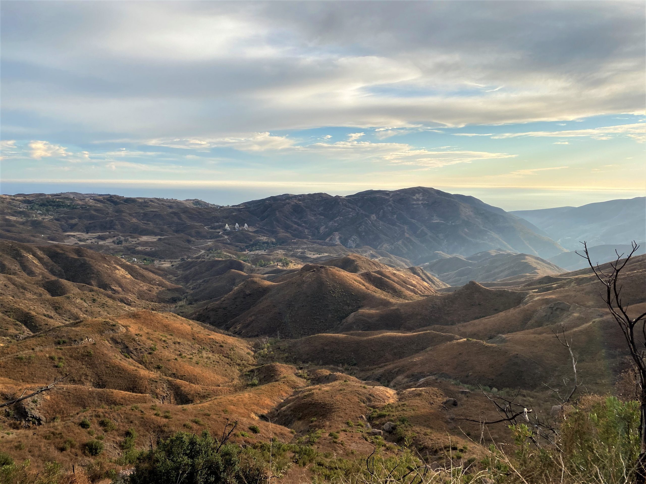
The Santa Monica Mountains National Recreation Area stretches roughly 50 miles from Griffith Park to Point Mugu, creating a rare green corridor between Los Angeles and the Pacific. In a single morning, you can hike through chaparral, sycamore-shaded canyons, grasslands, and volcanic rock formations. Elevation ranges from sea level along the Palisades Blufftop Trail to 3,111 feet at Sandstone Peak, the highest point in the entire range.
This variety means the mountains serve everyone. First-time hikers can walk a flat, paved two-mile path along the bluffs. Experienced trail runners can tackle 14-mile ridgeline routes with nearly 3,000 feet of elevation gain. Few cities on Earth put that range of options inside a 30-minute drive.
How to Choose the Right Santa Monica Trail
Picking a trail starts with three honest questions: How far can you comfortably walk? How much elevation gain can your legs handle? And what do you want to see when you get there? If you have never hiked in Southern California, start moderate and work up. The heat and sun exposure on shadeless ridgelines are not forgiving.
| Difficulty | Distance | Elevation Gain | Example Trail |
|---|---|---|---|
| Easy | 2 to 3.5 miles | 0 to 600 ft | Palisades Blufftop, Will Rogers Loop |
| Moderate | 6 to 10 miles | 900 to 1,800 ft | Temescal Canyon, Topanga Canyon, Malibu Creek |
| Hard | 10+ miles | 1,800+ ft | Backbone Trail Western End |
Easy Trails for Beginners and Families
Palisades Blufftop Trail
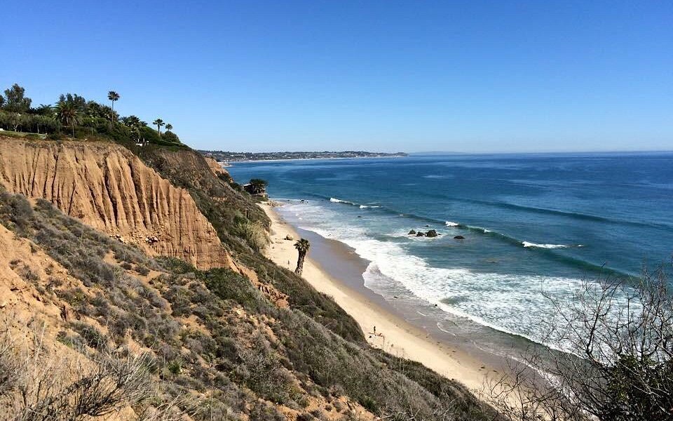
This flat, paved, two-mile path runs along the bluffs above Pacific Coast Highway between San Vicente Boulevard and Adelaide Drive. It requires zero special gear and zero fitness baseline. On a clear evening, the views stretch from Malibu to the Palos Verdes Peninsula, with Santa Catalina Island visible on the horizon. The path is fully accessible, works for strollers and wheelchairs, and connects directly to Palisades Park.
Pros
- Best free sunset walk in the city
- Fully accessible — strollers and wheelchairs welcome
- No gear or fitness required
Cons
- Crowds build on weekend evenings at sunset
- Paved surface — not a wilderness experience
Will Rogers State Park Loop
The 3.5-mile loop at Will Rogers State Historic Park climbs gently through coastal sage scrub and grasslands, gaining about 600 feet of elevation. The trail is wide, well-maintained, and dog-friendly. From the upper ridge, you get sweeping views of the Santa Monica coastline, downtown LA, and the San Gabriel Mountains on clear days.
Pros
- Sweeping coastal and city views from the ridge
- Dog-friendly on leash
- Great morning walk — comfortable in under 2 hours
Cons
- $12 day-use parking fee
- Can get busy on weekend mornings
Moderate Trails That Deliver the Best Scenery
Topanga Canyon Trail to Eagle Rock
This 10-mile out-and-back route through Topanga State Park earns the highest rating of any moderate hike in the area. The payoff is Eagle Rock, a sandstone formation perched above the canyon with 360-degree views that extend to Catalina Island on clear mornings. The trail gains 1,800 feet over its full length, passing through grasslands, oak groves, and exposed chaparral ridges. Parking at the Trippet Ranch trailhead costs $12, and the lot fills before noon on weekends.
Pros
- Highest-rated hike near Santa Monica by local reviewers
- 360-degree views from Eagle Rock stretch to Catalina
- Varied terrain — grasslands, oak groves, chaparral
Cons
- Parking lot fills before noon on weekends
- Long at 10 miles — not a quick outing
- Limited shade on upper ridge sections
Temescal Canyon Loop
Temescal Canyon packs a 6-mile loop with 1,200 feet of elevation gain into one of the most scenic hikes under 45 minutes from the beach. The trail follows a creek through shaded sycamore groves before climbing to a ridgeline with panoramic coastal views. After winter rains, a seasonal waterfall appears along the lower canyon section. A counter-clockwise loop gives you the shaded canyon ascent first and saves the exposed ridge descent for when you are warmed up.
Pros
- Seasonal waterfall after winter rains
- Shaded sycamore canyon section is genuinely beautiful
- 45 minutes from the beach
Cons
- No dogs allowed on the main loop
- Parking spots fill quickly on weekend mornings
Malibu Creek State Park
This 7-mile route offers one of the most varied landscapes in the Santa Monica Mountains. The trail follows Malibu Creek past a volcanic rock pool, crosses through grasslands, and reaches the former filming location for M*A*S*H. The rock pool is a popular swimming hole during warmer months, and the MASH site still has rusted vehicles and informational signs. With 900 feet of elevation gain spread across rolling terrain, the difficulty is manageable for anyone with basic hiking experience.
Pros
- Rock pool swimming hole in warmer months
- Iconic MASH filming location with historical markers
- Fewer crowds than Temescal despite similar scenery
Cons
- $12 parking at the main lot off Las Virgenes Road
- Lot fills on peak days — arrive early
Hard Trails for Experienced Hikers
Backbone Trail — Western End
The western section of the 65-mile Backbone Trail covers roughly 14 miles with 2,800 feet of elevation gain. This is not a casual day hike — it is a full-day commitment that rewards prepared hikers with ridgeline views, total solitude, and terrain that changes from chaparral to oak woodland to exposed rock. Carry at least three liters of water, sun protection, a trail map, and enough food for six to eight hours. There is no shade for long stretches of the ridgeline, and cell service is unreliable in deeper canyons.
Pros
- Highest-rated hard trail in the range
- True solitude — a fraction of the foot traffic on popular loops
- Terrain variety from chaparral to oak woodland to exposed rock
Cons
- Full-day commitment — not suitable for beginners
- No shade for long ridge sections
- Cell service unreliable in canyons
Sandstone Peak via Mishe Mokwa Trail
At 3,111 feet, Sandstone Peak is the highest point in the Santa Monica Mountains. The Mishe Mokwa Trail passes Split Rock, a massive formation with a shaded oak grove that makes for an excellent rest stop. From the peak, the views span the Channel Islands, the Oxnard Plain, and the Pacific coastline south toward Malibu. Technically moderate in distance but earns a hard rating because of the sustained exposure and rocky footing near the summit. Start early and wear grippy footwear.
What Is the Best Season for Hiking in Santa Monica?
Spring, between March and May, is the best time to hike in the Santa Monica Mountains. Temperatures hover between 60 and 75 degrees Fahrenheit, wildflowers blanket the hillsides, and seasonal waterfalls actually flow. Trails are green and lush, and the light is soft enough for excellent photography.
Summer brings heat. Exposed ridgelines can hit 90 degrees or higher by midmorning. If you hike in summer, start before 7 AM or save it for a sunset outing. Fall and winter offer cooler temperatures and smaller crowds. Winter mornings can dip into the mid-40s, which makes for comfortable hiking once you warm up.
How to Avoid Crowds on Santa Monica Hiking Trails
The simplest fix: go early. Arriving at a trailhead by 7 AM on a Saturday gives you a parking spot and a quieter trail. Weekday mornings are even better — Tuesday and Wednesday mornings offer the emptiest trails. Choosing lesser-known trailheads also helps. Malibu Creek State Park draws fewer hikers than Temescal despite offering similarly varied scenery.
- Arrive by 7 AM on Saturdays — the lot is usually open and the trail quiet
- Tuesday and Wednesday mornings are the least crowded days
- Malibu Creek State Park sees a fraction of Temescal's weekend traffic
- Backbone Trail access points rarely attract large crowds
- Sunset hikes on weekdays are a local secret for solitude with great light
Essential Gear for Santa Monica Mountain Hikes
Water and Sun Protection
Carry at least one liter of water per hour of hiking. On exposed ridgeline trails in warm weather, two liters per hour is safer. A wide-brimmed hat, sunglasses, and SPF 50 sunscreen are non-negotiable. The sun reflects off dry chaparral and rock, and shade is scarce on upper trail sections.
Footwear and Clothing
Trail shoes with good grip are enough for most trails here. Sandals and flip-flops are a bad idea on anything steeper than the Palisades Blufftop. Wear moisture-wicking layers and long pants if you plan to hike through areas with poison oak, which grows along shaded creek sections in Temescal Canyon and Solstice Canyon.
Navigation and Safety Essentials
Download a trail map before you leave. Cell service drops in many canyons, and trail signage varies between jurisdictions. A small first-aid kit, a headlamp for sunset hikes, and an extra snack are worth the pack weight. Let someone know where you are going and when you expect to return.
Wildlife and Trail Safety
Rattlesnakes
Common in rocky areas and along sunlit trail edges, especially in spring and summer. Watch where you step and where you place your hands if scrambling over rocks. If you hear a rattle, stop, locate the snake, and back away slowly.
Mountain Lions and Coyotes
Mountain lion sightings are extremely rare but the animals are present. If you encounter one, stand tall, make yourself appear larger, maintain eye contact, and speak firmly. Never run. Coyotes are more common, especially at dawn and dusk. Keep dogs on leash and never leave food unattended.
Poison Oak
“Leaves of three, let them be” is the standard rule. Poison oak grows along shaded creek beds in Temescal Canyon, Solstice Canyon, and lower Topanga Canyon sections. Wear long pants and wash exposed skin promptly if contact occurs.
Parking and Access Tips
Most state park trailheads charge between $8 and $12 for day-use parking. The Temescal Gateway Park lot fills by mid-morning on weekends. Topanga State Park's Trippet Ranch lot has the same problem. The Palisades Blufftop Trail and Backbone Trail western access points have free roadside parking. Carpooling, biking to trailheads, or using Santa Monica's public transit can save you both money and the stress of finding a spot.
Dog-Friendly Hiking Options Near Santa Monica
Not every trail in the Santa Monica Mountains allows dogs. Will Rogers State Park Loop is dog-friendly on leash and offers gentle terrain that works for most breeds. Temescal Canyon does not allow dogs on the main loop trail. Neither do most trails managed by the National Park Service. State parks generally allow leashed dogs on fire roads but not on narrow footpaths. Always check the specific park's rules before heading out.